Lake Victoria’s Data Challenge: Turning Fragmented Information into Shared Action
29 June 2026, Africa: The Lake Victoria Basin is one of East Africa’s most important landscapes. Home to more than forty million people across five countries, it supports agriculture, livestock, fisheries, and biodiversity. Yet decision-makers across the basin face a persistent challenge: the right data, in the right format, rarely reaches the people who need it most.
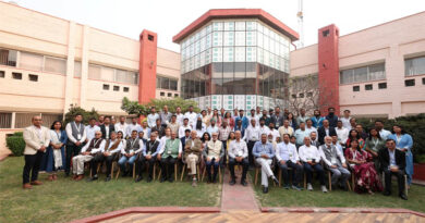
On 23 June 2026, the CGIAR Multifunctional Landscapes Science Program convened a workshop on digital needs assessment and stakeholder engagement at the International Livestock Research Institute (ILRI) in Nairobi. The workshop brought together representatives from government institutions, research organizations, development partners, and local stakeholders to identify information gaps that limit decision-making in the basin and explore how digital solutions can better serve the communities that depend on it.
A landscape under pressure
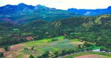
The Lake Victoria Basin covers more than 193,000 square kilometers, and more than 70 per cent of its population depends on smallholder agriculture and natural resource-based livelihoods. The lake supports the world’s largest freshwater fishery, producing about one million tons of fish each year. However, land-use change, deforestation, wetland degradation, and declining ecosystem services are placing the basin under growing pressure and weakening the ecological foundation that supports food production across the region.
These pressures are compounded by an information deficit. Data on land cover, soil health, water systems, and ecosystem services are scattered across institutions, inconsistently formatted, and difficult for practitioners and policymakers to access. The Nairobi workshop focused on this intersection of ecological urgency and fragmented information.
Program overview and Kenya focus
Lulseged Tamene, Director of the CGIAR Multifunctional Landscapes Science Program, opened the workshop by outlining the program’s mandate: to optimize environmental and production objectives across five areas of work, namely agroecology solutions, landscape optimization, markets and business models, governance and policy, and evidence and performance analysis. The CGIAR MFL Program operates in twelve strategic landscapes worldwide, with the Lake Victoria Basin as a key focus in Africa.
Lisa Fuchs, Country Coordinator for the CGIAR MFL Program in Kenya, described a significant shift in the program’s approach to the basin: moving from a county-by-county focus to working across broader river catchments, particularly the Nyando and Yala basins. In 2026, the CGIAR MFL Program began working across the Lake Victoria Economic Bloc and its 14 counties, with an initial focus on Homa Bay, Kericho, Kisumu, Kisii, and Migori. This consolidation, she explained, brings together more teams, partners, and opportunities for a genuinely integrated landscape approach.
Three exercises, one shared map
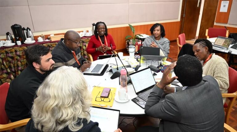
The workshop centered on participation. Three group exercises, facilitated by ILRI and the Alliance of Bioversity International and CIAT, moved the discussion from analysis to action.
The first exercise identified the critical decisions needed in the basin and the barriers preventing them. Groups consistently pointed to limited cross-sector coordination, fragmented data ownership, and a lack of data-sharing protocols as core constraints. These were seen less as technical problems and more as institutional ones. The second exercise used the Digital Needs Assessment Canvas to translate these challenges into specific digital needs, with participants emphasizing the importance of integrating traditional and local knowledge with modern data systems. The third exercise, led by Lizeth Llanos Herrera of the Alliance of Bioversity International and CIAT, mapped existing data sources and tools, including the Flood and Drought Portal, GazNet, and the Caldrose Selector, while highlighting significant remaining gaps.
What was agreed, and what came next?
Several priorities emerged clearly from the synthesis session. Early warning systems for floods, droughts, water pollution, and water hyacinth were consistently identified as urgent needs. Participants also agreed on the need for a shared geospatial data hub to consolidate existing data, reduce duplication, and make landscape information accessible across sectors and counties.
The ILRI team, led by Ambica Paliwal, ILRI Spatial Science Team Lead, is committed to compiling and analyzing all group exercise outputs to inform future digital investments. A follow-up workshop in Kisumu is being planned to engage local and community-level stakeholders and to incorporate traditional knowledge more formally into the process. An inventory of existing digital tools, data sources, and data holders will be developed to support future integration, alongside governance and coordination mechanisms to improve data sharing across institutions.
The 23 June workshop marked a crucial step toward building this foundation. With a follow-up workshop planned, a shared data hub in development, and a growing coalition committed to better coordination, work is already underway to translate the day’s outputs into practical digital solutions.
Also Read: EU Mandates Digital Labels for Plant Protection Products from 2028
Global Agriculture is an independent international media platform covering agri-business, policy, technology, and sustainability. For editorial collaborations, thought leadership, and strategic communications, write to pr@global-agriculture.com