23 October 2026, Bhubaneswar: India’s Meteorological Department has warned that a low-pressure area is expected to form over the southeast and east-central Bay of Bengal around October 23, with a high probability of further intensification into a depression by October 25 and possible strengthening into a cyclonic system in the days that follow, according to the IMD’s extended-range outlook reported this week by Down To Earth and regional outlet Pragativadi.
The system is forecast to move west-northwestward through October 28, with gale-force winds likely over the west-central Bay of Bengal from October 26. The IMD’s advisory does not yet confirm cyclone formation or landfall, but it has issued graded alerts for coastal Odisha, Andhra Pradesh and, separately, for parts of Tamil Nadu, where a different weather system has triggered orange alerts in 17 districts and yellow alerts in nine more as forecasters watch for a cyclonic storm that could strengthen the northeast monsoon.
Farmers Advised to Protect Harvested Crops as Alerts Widen
In Odisha, coastal districts including Balasore, Kendujhar, Mayurbhanj, Rayagada, Koraput, Gajapati, Ganjam and Puri are expected to remain largely dry through October 26, before light to moderate rain and thundershowers arrive from October 27, with isolated pockets possibly seeing 64.5 to 115.5 millimetres of rain. Fishermen have been advised to stay out of the east-central and adjoining southeast Bay of Bengal from the evening of October 23 through October 25, and out of the west-central and southwest Bay from October 26 to 28, as rough sea conditions are expected.
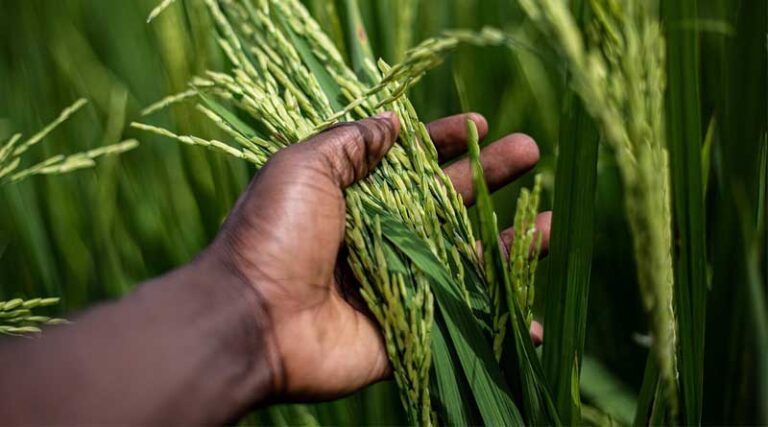
The timing is significant for farmers because it falls during the kharif paddy harvest window across Odisha and Andhra Pradesh. General agromet guidance issued alongside past Bay of Bengal alerts this season has urged farmers to ensure field drainage, protect harvested grain, fodder, fertiliser and equipment from rain and wind, avoid spraying pesticide or fertiliser immediately before thunderstorms, and move livestock to secure shelter during lightning and high winds.
This advisory follows weeks in which heavy monsoon-withdrawal rainfall had already left standing water across parts of Balasore, Bhadrak, Jajpur, Mayurbhanj, Ganjam, Gajapati, Koraput and Malkangiri, according to regional reporting, meaning the soil in several of these districts is already saturated ahead of any fresh system.
Global Agriculture is an independent international media platform covering agri-business, policy, technology, and sustainability. For editorial collaborations, thought leadership, and strategic communications, write to pr@global-agriculture.com