Record September Rain Stalls US Corn Belt Harvest, USDA Data Shows
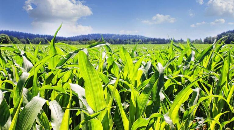
23 September 2026, Iowa, United States: A persistent “ring of fire” weather pattern has dumped record or near-record September rainfall across large parts of the US Corn Belt this week, slowing harvest progress in some of the country’s most important corn and soybean growing states just as combines were meant to be rolling. Official USDA crop condition data released September 21 shows a mixed but regionally serious picture, with parts of Iowa, Illinois, Minnesota and Ohio recording their wettest September on record even as national harvest figures remain close to normal for now.
According to the USDA National Agricultural Statistics Service’s weekly crop progress report, corn harvest stood at 11 percent complete nationally as of September 20, slightly ahead of both last year’s 8 percent and the five-year average of 10 percent, while soybean harvest stood at 8 percent, in line with the five-year average. Nationally, corn condition was rated 39 percent good to excellent and soybeans 60 percent good to excellent. Those topline national numbers, however, mask sharp regional divergence: in Iowa specifically, the state’s own weekly crop report showed corn harvest running behind last year’s pace, soybean leaf drop lagging 12 percentage points behind last year, and only 1.7 days suitable for fieldwork during the reporting week, more than three days fewer than a year earlier, as saturated fields kept equipment out of many areas.
Wet West, Drier East, Meteorologists Say
Matt Griffin, senior vice president of meteorology at BAM Weather, described the pattern as effectively splitting the Corn Belt in two, with continued above-normal precipitation likely across western growing areas including South Dakota, Nebraska, Kansas and Missouri into October, while eastern growing regions should see increasingly favorable, drier harvest windows opening up in the coming weeks. Areas of northern Illinois, Indiana and northwestern Ohio have already received as much as 7.5 inches of rain this month in some pockets, according to weather data cited by agricultural trade press, with soil moisture in several states now rated as having surplus conditions in places.
The practical effect for farmers is a compressed and unpredictable harvest window at exactly the time of year when timing matters most for grain quality and field losses. Delayed harvest raises the risk of stalk lodging, ear drop and grain quality deterioration in corn left standing too long in wet conditions, while later-than-normal harvest can also push back the timeline for fall fieldwork, cover crop planting and the marketing decisions farmers make around when to sell grain into an already China-demand-driven soybean market this autumn.
Why Corn Belt Weather Reverberates Through Global Grain Markets
Weather-driven harvest delays in the US Midwest are never purely a domestic story, because the United States remains one of the two or three largest exporters of both corn and soybeans in the world, alongside Brazil and Argentina. Any meaningful slowdown in how quickly US grain moves from field to storage to port affects the pace at which importing countries, including India and several Latin American feed and food processing sectors, can expect shipments to arrive, and it feeds into the futures pricing that Indian edible oil refiners, poultry feed manufacturers and grain traders watch closely when planning import purchases.
Global Agriculture is an independent international media platform covering agri-business, policy, technology, and sustainability. For editorial collaborations, thought leadership, and strategic communications, write to pr@global-agriculture.com